Map of England and Wales and surrounding seas. Engraving by J. Russell, 1803.

  • Russell, J., active 1803-1804.
Date:
31 March 1803
Reference:
576760i
  • Pictures
  • Online

Available online

view Map of England and Wales and surrounding seas. Engraving by J. Russell, 1803.

Public Domain Mark

You can use this work for any purpose without restriction under copyright law. Read more about this licence.

Credit

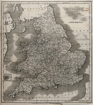
Map of England and Wales and surrounding seas. Engraving by J. Russell, 1803. Wellcome Collection. Public Domain Mark. Source: Wellcome Collection.

Selected images from this work

View 1 image

About this work

Publication/Creation

London (no. 112 Holborn Hill) : J. Stratford, 31 March 1803.

Physical description

1 print : engraving ; image 41.9 x 37.3 cm

Lettering

England and Wales ... J. Russell delin.t et sculp.t Extensive lettering

Reference

Wellcome Collection 576760i

Type/Technique

Languages

Where to find it

  • LocationStatusAccess
    Closed stores

Permanent link